
Lot Bearing Plotter
Type the technical description of one lot as written on a Philippine title or survey plan: the tie line from the reference monument (BLLM, BBM, MBM ...) to corner 1, then up to 50 boundary lines, each a quadrant bearing and a distance.
The sheet computes the latitudes and departures, the error of closure and the relative precision (1 : x) against the DENR standard you choose (tertiary 1 : 5,000 by default; secondary, primary or custom), the compass-rule (Bowditch) adjustment and the adjusted corner coordinates. From the monument's PRS92 (PTM zones I to V) or local-grid northing and easting it gives the grid coordinates of every corner, with an optional rotation for true bearings. The area is computed by the coordinate method and checked by the DMD method, in sq.m, hectares and words, and compared with the area on the title.
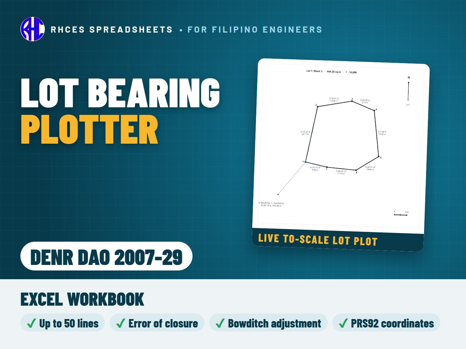
When the description does not close, the typo finder points to the most likely typing error: a swapped N/S or E/W letter, a mistyped distance or bearing, or a skipped line. A live to-scale plot shows the lot with corner numbers, bearings and distances, the tie line, the monument and a north arrow. A one-page A4 Lot Data Computation sheet and a one-page A4 Technical Description sheet (narrative and tabular, written back from the adjusted values) are ready to print. The 12-line summary reports PASS / CHECK / N/A with one overall result.
References: DENR DAO 2007-29 (Revised Regulations on Land Surveys) and DMC 2010-13 (Manual on Land Survey Procedures). The checks test the technical description as typed; they are not a survey verification, and a licensed geodetic engineer remains responsible for surveys, plans and descriptions (RA 8560).
Every result is a visible Excel formula. Includes the Excel workbook. View sample on the store page previews a worked A4 sample calculation (a fictional lot). One licence per engineer or office.